Indian Reservation Road
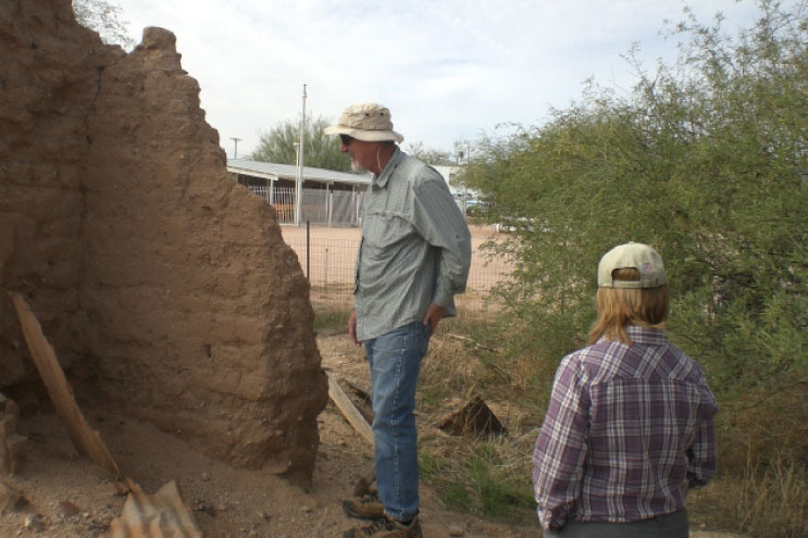
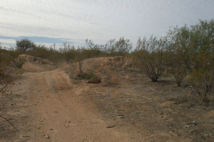
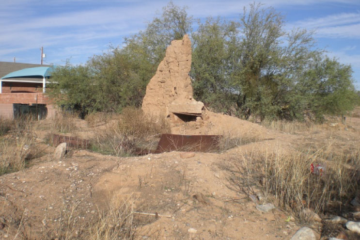
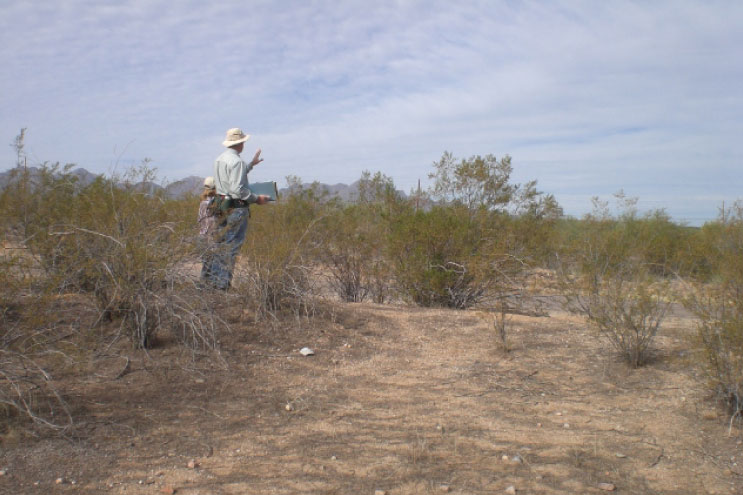
Utilizing federal transportation dollars administered by the Bureau of Indian Affairs (BIA), the BIA proposed to improve a one-mile segment of a road within the Fort McDowell Indian Reservation. A site file research revealed that the road passed through two previously recorded sites, one was listed on the National Register of Historic Places (NRHP). An archaeological survey was conducted along the road and several isolated artifact occurrences were identified within the boundaries of the two sites. The survey report recommended that a combination of testing and monitoring be conducted in conjunction with the road improvement project. No surface remains were found during site testing.
Timeframe: April 2010 – August 2012
Accomplishments: Authorizing agency visited NRHP-eligible site to determine approach for mitigation
Challenges: Interpretation of roadway improvements to minimize impacts to sensitive cultural sites